Newport High School orchestra

Newport High School Orchestra Performs Free Boy: Secret Voyage

Tone Poem for Charles Mitchell’s Flight to Freedom on the West’s Underground Railroad

BELLEVUE, Wash. – Newport High School orchestra, the Newport Philharmonic, will be performing the world premiere of “Free Boy: Secret Voyage,” a piece commissioned by award-winning composer Tim Huling, at the All-Northwest Music Educators Conference, on Feb. 17 in Bellevue, WA.

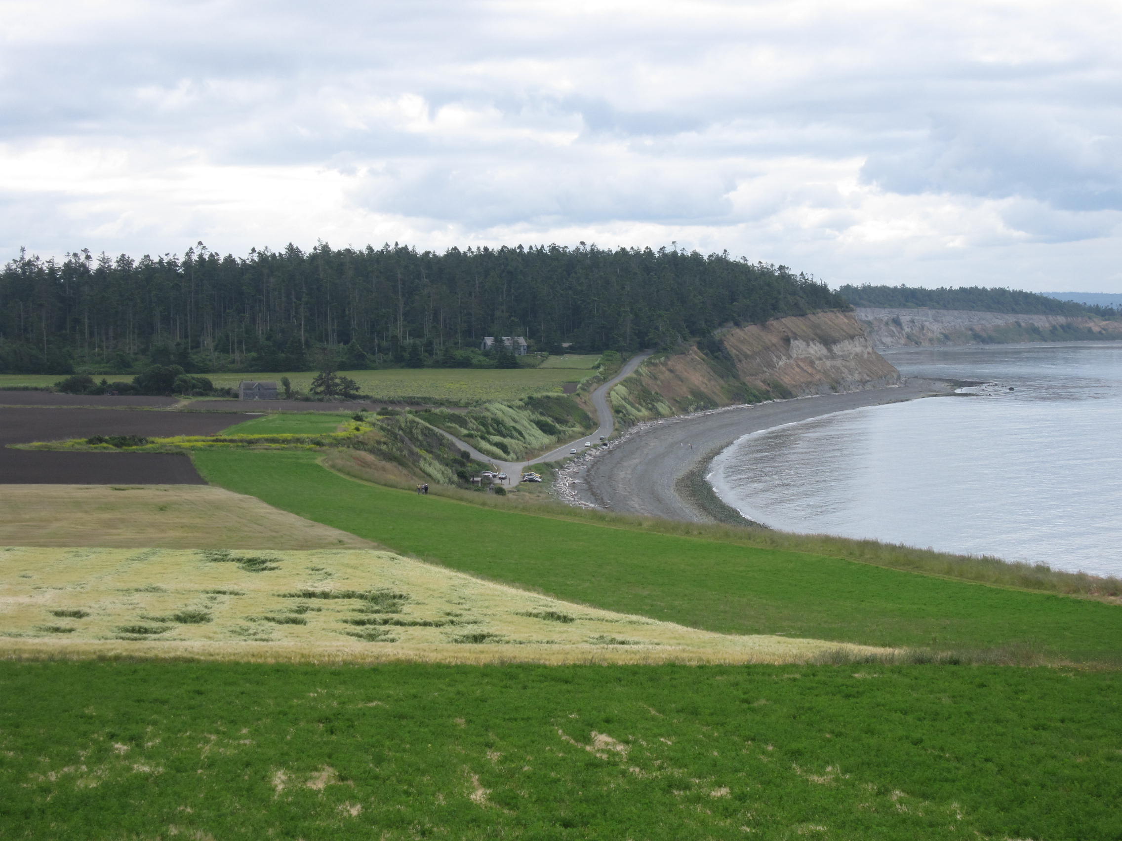
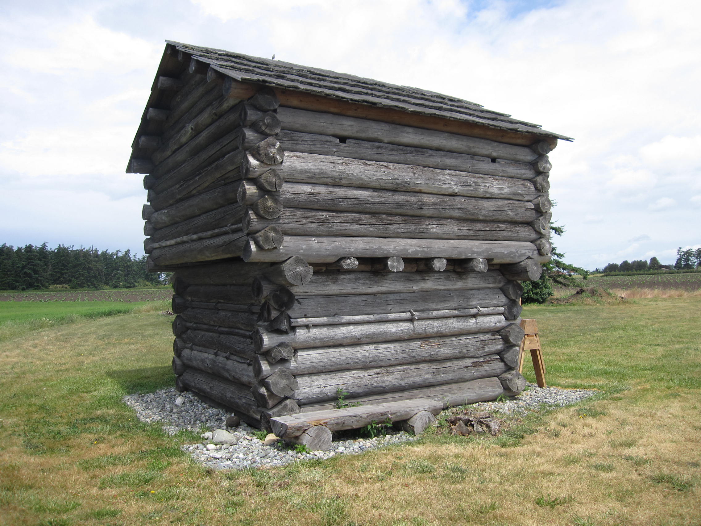
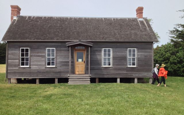
The piece is inspired by the nonfiction book “Free Boy,” written by local authors Lorraine McConaghy and Judith M. Bentley, and was commissioned by the school with support from the Bellevue Schools Foundation and Newport’s PTSA.  The book is about a thirteen-year-old boy who is born into slavery and escapes from the Washington territory to freedom in Canada by way of the West’s underground railroad.

Newport’s orchestra conductor, Christine Gero, decided to embark on this project as part of the school’s music history unit on contemporary music.  The intent is to work with a living composer and create a piece of music with a Pacific Northwest hero as the inspiration for the work.  Gero began the unit by asking how many students have lived somewhere other than Bellevue, and nearly the entire class raised their hands.  Gero herself is also a transplant to the Pacific Northwest, so together she and her students are learning about the Pacific Northwest’s history through the book “Free Boy.”

“In some ways Bellevue is very global,” said Gero.  “A lot of people in the community were not born here, so this has been such a great opportunity for us to learn about this place we live in and its history.”

Throughout the unit, students have met the authors, historians and even gave input to Huling on the composition of the piece.

“To actually see the students getting to interact with historians, authors and a composer and hear not just about the past, but how it plays into the present – and how they are able to take part in that to create something that is hopefully lasting and meaningful – I think that has been exciting for everyone involved,” said Gero.

For more information about the All-Northwest Conference: www.nafmenw.org

For more information or to schedule a visit to see the orchestra rehearse please contact Christina Wilner at (425) 456-4

Coal Creek to Redtown Trail

See my article on this hike, “Find a Trail to History,” in the October 2017 issue of Northwest Prime Time.

The Coal Creek trail to Redtown, site of industrial mining in the late 1800s, was the first hike I did in Washington and the inspiration for Hiking Washington’s History.  I could walk out of my suburban home, follow a social trail down a hill, then a deer trail through wet land to Coal Creek. Coal Creek Trail The trail followed the creek, past an old farm-site (with apple trees), past mining artifacts (wagon wheels chained to a tree, chunks of coal), onto the old road-bed of the Seattle and Walla Walla Railroad, past a cinder mine and the remains of the railroad turn-table, and finally reached Redtown.  Near the end of the hike there were old interpretive signs and a black hole in the ground–an air shaft going down 100 feet to the mines.  Coal CreekThe trail was rich in both natural and human history.

In the 30 years since my first hike King County has greatly improved the trail, part of the Cougar Mountain Regional Wildland Park.  Updated, easy to read interpretive signs mark the Redtown end of the trail.  Bridges and stairs have been constructed.  The Primrose loop has been restored.

The most important charms remain–the concrete blocks of the turntable covered with fall leaves, the North Fork falls full in October, the remains of a wood-constructed plume in the creek and the visible coal seam, even the bricks discarded from the Mutual Materials lot, now a housing development.  You can still walk this three-mile trail, out of sight of homes or parkways, and be greeted by this weathered sign, an historic artifact on its own.  Coal Creek sign

Richland Urban Greenbelt walk

Attending the Washington State Trails Coalition Conference last weekend, I enjoyed a history walk through Richland’s urban greenbelt led by Nancy Doran.  The narrated walk embodied what I call a virtual trail, a walk on sidewalks, trails, even through parking lots when a detour was necessary–all connected by a story, the story of Richland’s World War II history.  My literary acquaintance with Richland comes through Paul Loeb’s Nuclear Culture and Kathleen Flenniken’s volume of poetry, Plume. This on the ground walk brought more social history into the picture.

Richland was a small farming town with only 247 residents when the United States government plucked it and the nearby towns of Hanford and White Bluffs off the map as the perfect place to produce plutonium for the atomic bomb.  Farms, homes, and some businesses were forced out in 1943 and housing for 11,000 workers was quickly built.  Richland became a bedroom community.  We walked past the alphabet homes–built on floorplans A, B, D, E,F or G–with the goal of having high and low income earners living side by side.  We saw the site of the women’s dormitories, which anticipated the housing needs of single women workers.  We saw the few buildings that preceded the 1940s, the current high school with the Bombers mascot, and a lovely walkway along Hip Deep Creek to the riverfront trail.  The Sacajawea Heritage Trail goes for miles along the Columbia River, connecting the Tri-Cities. Sacajawea Heritage Trail

Much of the architecture along the way reflected the technology and mid-century modern tone of the city.  The thoughtful planning of G. Albin Pehrson left parkland as a buffer between homes and businesses, land through which the paved urban trail goes today. For those without a guide, the trail is marked in the sidewalk but volunteer-led history tours are periodically offered through Richland’s Parks and Recreation Department.

A brochure by Gary Fetterolf, “Walking Tour of World War II Era Alphabet Homes,” describes the alphabet homes and the origin of street names, named after army engineers.  It is available at the new Richland Urban Greenbelt TrailHanford Reach Museum, a concrete structure rising out of the windswept ground, which broadens the story to the river and the land around it.


Oregon Trail markers in Washington

There are now fourteen Oregon Trail markers in Washington (see comment below), marking Oregon Trail markerthe Oregon Trail cutoff to Puget Sound.  In Washington the Oregon Trail followed the Cowlitz River from Fort Vancouver to Cowlitz Landing, then went overland on a rough wagon road to Olympia. There are markers at Vancouver, Woodland, Kalama, Kelso, Toledo, Mary’s Corner, Centralia, Grand Mound, Tenino, Bush Prairie, Tumwater, and Olympia, the end of the trail on south Puget Sound.   The trail marker pocket park in Toledo, maintained by the Daughters of the American Revolution, Sacajawea Chapter,  has been restored and was rededicated in 2016.

History Lives in Renton

Renton is the 9th largest city in Washington, with a population of more than 100,000.  Yet it has been overshadowed by neighboring Seattle and Bellevue, which rank 1st and 5th, and by its association with industry and jobs–coal mining, clay works, Boeing and PACCAR.  Even though it has a 405 and Rainier Avenue, the main routes of travel, bypass the main street at a fast clip.

During its centennial in 2001, the city marked a walking tour with markers designed by Doug Kyes with text by Barbara Nilson. Renton Number one is land where the Duwamish had lived for hundreds of years, at the confluence of the Cedar and Black rivers.  The Cedar River still runs through the middle of the city, but only a remnant of the Black River remains after the lowering of Lake Washington in 1916.

The community of Renton began when seams of coal were discovered near streams in 1873.  A lumberman, Captain William Renton, financed the Renton Coal Company, which opened a mine on the north side of Renton Hill.  He was also a trustee of the Seattle and Walla Walla Railroad which transported the coal.  Renton depotThe town incorporated in 1901.  Located at the south end of Lake Washington along the railroad and a road to Seattle, Renton became a place where Seattle workers lived.

Renton’s moment of historical significance in Washington, its period of largest growth, was during World War II.  The Seattle Railroad Car and Manufacturing Company, which became PACCAR, had moved to Renton in 1907 and produced 30 Sherman tanks a month during the war.  The Boeing Airplane Company located a major factory on the north side of Renton and began turning out B-29s at the peak rate of six a day.  Thousands of workers flocked to the city seeking work, and the War Department helped build multi-family units.  In the decades after the war, Renton became the “Jet Capital of the World.”

The latest new neighbors are the Seattle Seahawks, with a training facility on Lake Washington.  Like many cities along Puget Sound, Renton must deal with contaminated properties on its waterfront, particularly the Port Quendall properties where creosote and coal tar were manufactured.  The city has enhanced enjoyment of the Cedar River with a walking and biking trail and the city library built over it.

To discover the real downtown of Renton, Renton ghost signfollow the “History Lives Here” walking tour, available online or by brochure at the Renton History Museum, 235 Mill Ave. South.

And does anyone know if there is any historical significance to this mural painted on a building in downtown Renton?

Renton mural

Mount St. Helens

Mount St. Helens reflected in Spirit Lake

Mount St. Helens remains a stark, startling landscape in the midst of the usually green and heavily timbered Cascades with the clear blue sky reflected in Spirit Lake, the silvered downed trees, the gray behemoth rising above, and a lingering sense of human tragedy haunting the terrain.  Yet, it’s coming back.  Resilience wins.

When I wrote the chapter in Hiking Washington’s History on Mount St. Helens, I included three trails from the east side since the approach to the west side of the mountain was still blocked by the devastation of the 1980 explosion.  In August, 2016, I returned with my hiking group of intrepid women.  Much remained the same–the mountain is still gray and fractured, the trees are still down, Spirit Lake is still half-filled with logs–but life is returning.

Boundary Trail
Boundary Trail

On the first day we hiked the Boundary Trail on the west side in a perfect storm of unfavorable conditions–a long drive from Seattle, the hottest day of the week (in the 90s), and starting over the exposed landscape at mid-day.  Our goal was Harry’s Ridge; we reached the base of the ridge and decided that was enough.

Truman Trail
Truman Trail

The next day we split up; four of us explored the Truman Trail, which leaves from the Windy Ridge viewpoint and travels south on a gated dirt road, then cuts across the pumice plain at the base of the mountain.  The trail is ashy and sandy but broken by creeks and an oasis, providing enough alder shrubbery for a shady lunch.  We headed toward Loowit Falls but turned back as clouds came over the ridges and the air turned cooler.

Others in our group took the Harmony Falls trail down to the banks of Spirit Lake, which no longer has signs limiting access.

Spirit Lake
Spirit Lake

Then they climbed up to Norway Pass for the most expansive views of the mountain and for close-ups of the wildflowers.  At the top of the pass, clouds had obscured the mountain.

Norway Pass
Norway Pass

The third day some of us went underground, to Ape Cave, then to the dramatic Lava Canyon.

Lava Canyon
Lava Canyon

Our fourth day was a cool-down along Siouxon Creek.  Wonderful hiking with resilient friends. Lava Canyon


Cascade Pass to Stehekin

This summer I returned to Cascade Pass and a backpack to Stehekin, retracing the hike I described in Hiking Washington’s History.   My companions were my daughter–Anne Bentley–a hiking friend Marlee Richard–and her daughter Carrie Richard.  When I hiked this route in the 1990s a shuttle picked up three miles east of Cottonwood Camp, cutting out nine miles of hiking, but the meandering force of the Stehekin River has washed out parts of the old road the trail follows.  We needed to parse our 21 miles into three manageable parts.

Like every backcountry hiker, we had to take our chances at getting camping permits, leaving Seattle as early in the morning as we could stand it to drive to the North Cascades Wilderness Information Center in Marblemount.  It opens at 7 a.m. in the summers and issues permits first-come, first-served for the next night.  We were lucky enough to get into Pelton Basin Camp, which is just over the pass.  The night before the hike began, we camped at the trailhead, plenty of spaces available at Johannesburg Camp, and threw ropes over slim branches to cache our food from bears.

Stehekin RIver ValleyI’ve hiked to Cascade Pass three times now, and only the first time was the weather clear enough to take in the spectacular views.  This time it was rainy and cool, so we didn’t linger.  By early afternoon, we were standing under cedar trees at Pelton Basin to keep dry, then playing hearts in one tent, and hoping for the skies to clear.Pelton Basin

Gradually, they did, the next day, teasing us with appearing and disappearing views of the mountains and the creeks cascading down to form the Stehekin River.  This was the long middle day hike to Bridge Creek.

We lunched at Doubtful Creek, and my companions hiked up to Horseshoe Basin while I tended the packs.  After a foreshadowing of scat, we did see a bear heading up a hillside of huckleberries, causing only a brief pause in our travel.  We rested on the benches of the aged picnic table at Cottonwood Camp, then plodded on to Bridge Creek, where we had the luxury of sheltering cedar trees, a babbling creek, and two picnic tables, enough to dry out the tents and pack covers.

The next day we chose the Pacific Crest Trail route to High Bridge where hikers converge to greet the shuttle.  After a half-day hike, we rode to our reward–a night at the Stehekin Valley Ranch and the comforts of showers, flush toilets, and full-course dinners.  The fourth day’s ride to the Stehekin Landing took us to the bakery, organic farm, Rainbow Falls, and a history stop at the old schoolhouse, followed by a sunny, sleepy boat ride down Lake.  The Stehekin Valley is magical, no matter the weather.

Everett’s Weyerhaeuser Building

A hiking and walking friend, Linda Paros, alerted me a few weeks ago that the ornate Weyerhaeuser building in Everett was up on moving blocks.  What’s up? she asked.  The Seattle Times and the Everett Herald had the answer in mid-July.  It’s moving–again.

Weyerhaeuser buildingThe 93-year-old structure first sat at the foot of Pacific Avenue near Weyerhaeuser’s Mill A, the largest lumber mill in the world when it was built in 1912.  Although Weyerhaeuser headquarters was in Tacoma, near the Northern Pacific Railroad, from which Frederick Weyerhaeuser had bought timberland, the company’s largest mills were in Everett.  The local office building was designed by architect Carl Gould in a Gothic style to showcase local wood products from fir, cedar, and hemlock.  Fifteen years later it was barged to sit near Mill B on the Snohomish River.   After Mill B closed in 1979, the office moved again in 1984 to Marina Village to house the Everett Chamber of Commerce near the city’s newer economic enterprise, the U.S. Navy’s Homeport.

It will move this year to a development in the Port of Everett’s Central Marina, retaining its historic claim to the waterfront.  If nothing else, the building has showcased the strength of its structure.   The building is included in the Everett chapter of Walking Washington’s History: Ten Cities.IMG_1960

L_Weyerhaeuser_Office-640x480

Duwamish River

Duwamish River

North Wind's Fish WeirDuwamish Waterway

Hiking Washington’s History featured two urban hikes–on the Spokane Centennial Trail and on the Duwamish River–both of them essentially bike trails that are also good for walking.  Here’s the blog post I wrote for the University of Washington Press about the hike along the Duwamish, the only river that flows through Seattle, a much altered river still rich in history.

Ebey’s Landing and Prairie

Ebey's Landing Like Cascade Pass, Ebey’s Landing was one of the first hikes recommended to me when we moved to Seattle in the 1980s.  Since then, I have been to Whidbey Island many times–hiking, biking, and writing at Hedgebrook, a retreat for women writers. The landscape of prairies and bluffs above Ebey’s Landing on Admiralty Inlet has not changed, thanks to the creation of a National Historical Reserve,

But since I wrote Hiking Washington’s History, the trail has changed.  The map in the book shows two legs of a walk from Perego’s Bluff to Sunnyside Cemetery.  The westernmost leg is now the main route.  It goes past a blockhouse and the carefully reconstructed house of Jacob and Sarah Ebey who named the place Sunnyside. The Ebeys were the parents of Isaac Ebey who made the first land claim here in 1850 on  what he described as “almost a paradise of nature.”

The house opens for Summer 2016 on May 28th and will be open Thursdays-Sundays, 10 a.m. to 4 p.m., a good destination for a hike.Ebey Blockhouse

Ebey House